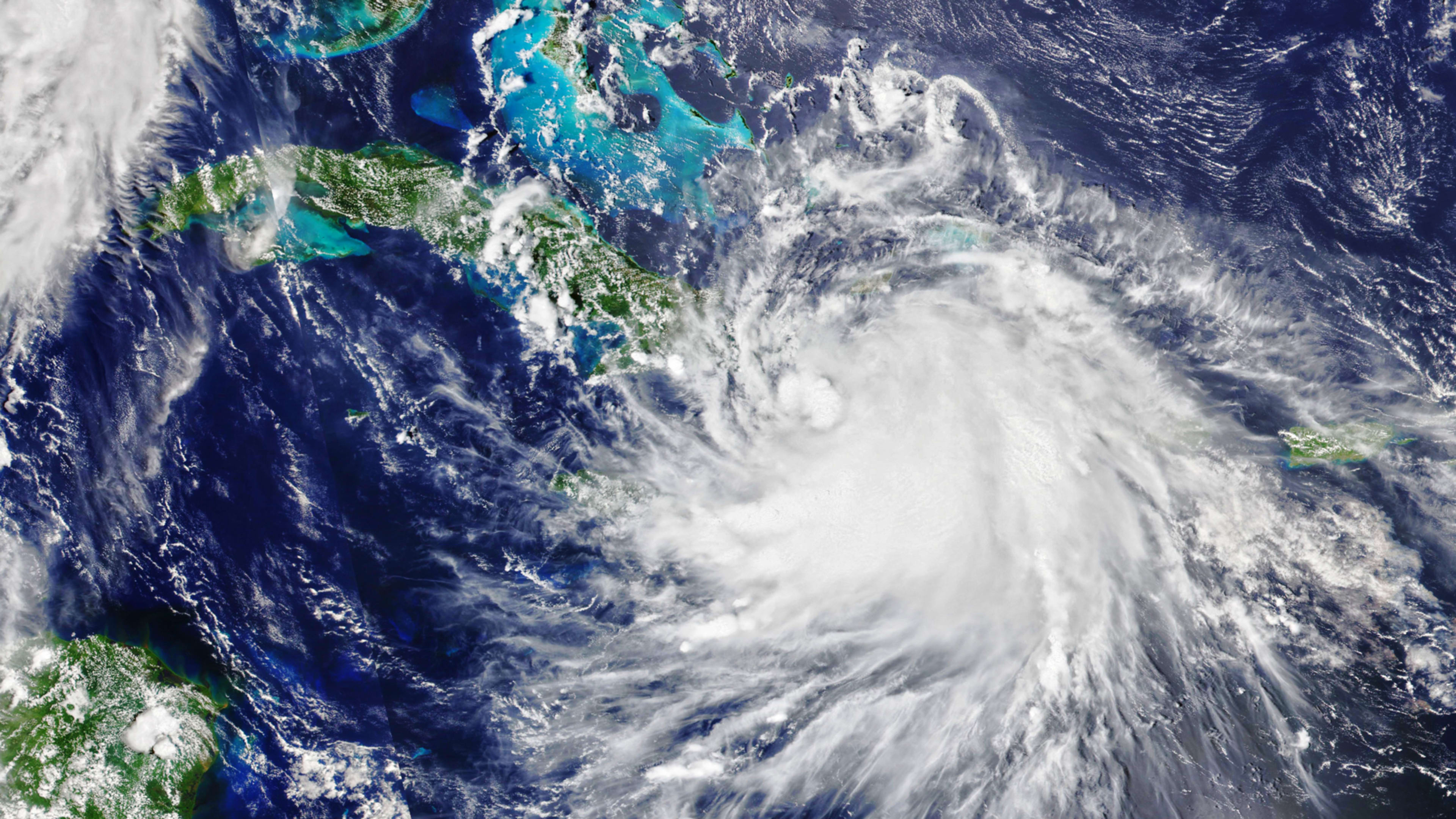
Hurricane Laura, the monster-size storm that has been tearing up the Gulf, is gaining strength and expected to become a Category 4 hurricane, the National Weather Service said today.
The storm is likely to make landfall in the United States on Wednesday night and will produce a “life-threatening” surge and flash flooding in Eastern Texas and Louisiana as early as today. Laura is already packing winds of 110 mph. Evacuations for at-risk areas have been issued, and it’s only going to get worse. On Twitter this morning, meteorologist Eric Holthaus said the storm is “on pace to be one of the most devastating hurricanes in US history.”
In other words, now is the time to be paying attention. If you’re looking to track the path of Hurricane Laura in real time, we’ve rounded up a number of useful tools, maps, and infographics for data tracking below. Stay safe!
Recognize your brand’s excellence by applying to this year’s Brands That Matter Awards before the early-rate deadline, May 3.