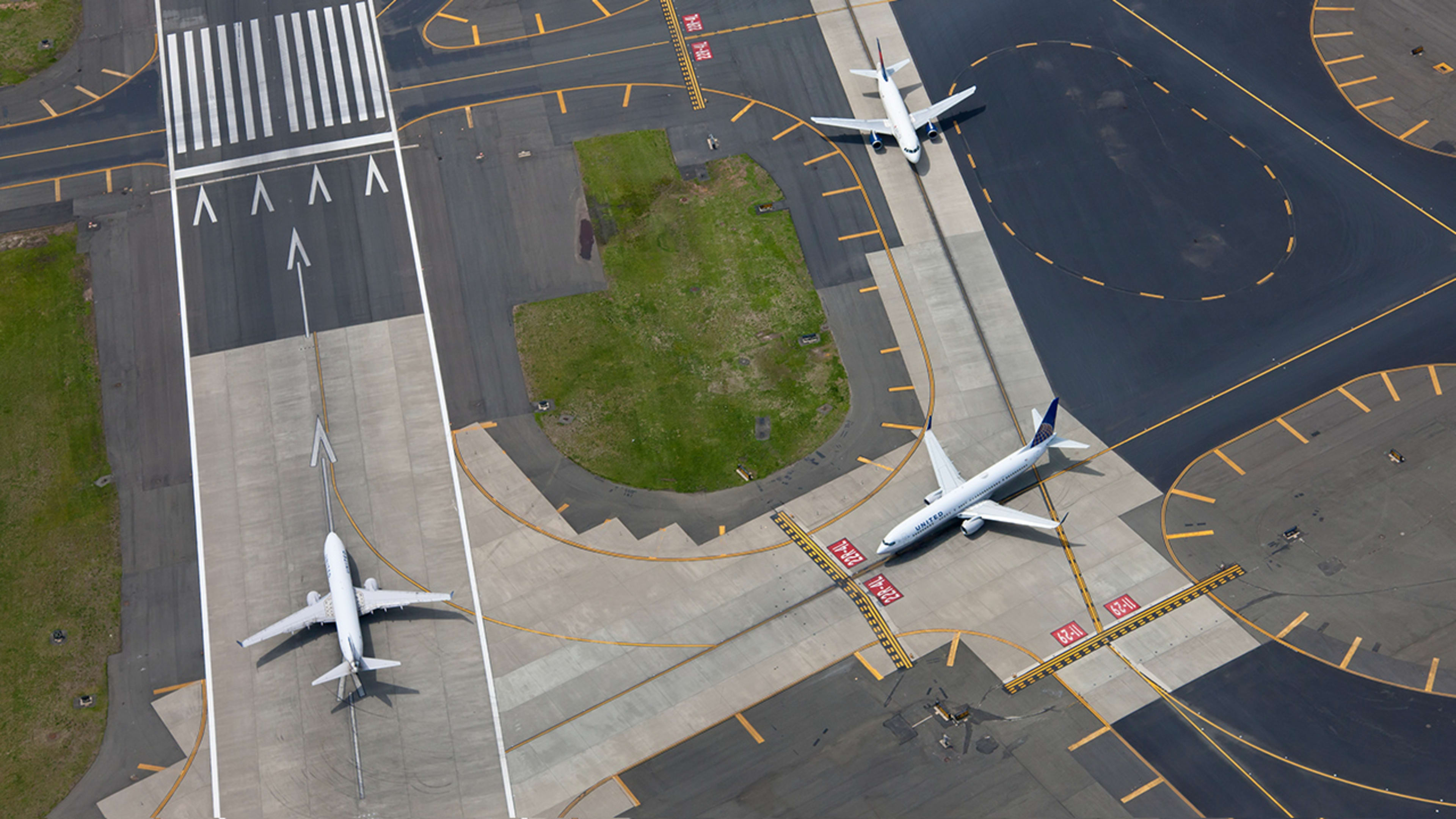
An airport runway is just a strip of tarmac—a glorified, straight road for planes to drive on while taking off or landing. But in aggregate, the runways of the world reveal something amazing. They depict the wind patterns across the globe. You can see the phenomenon for yourself at Trails of Wind, an interactive visualization by the data visualization firm Figures.
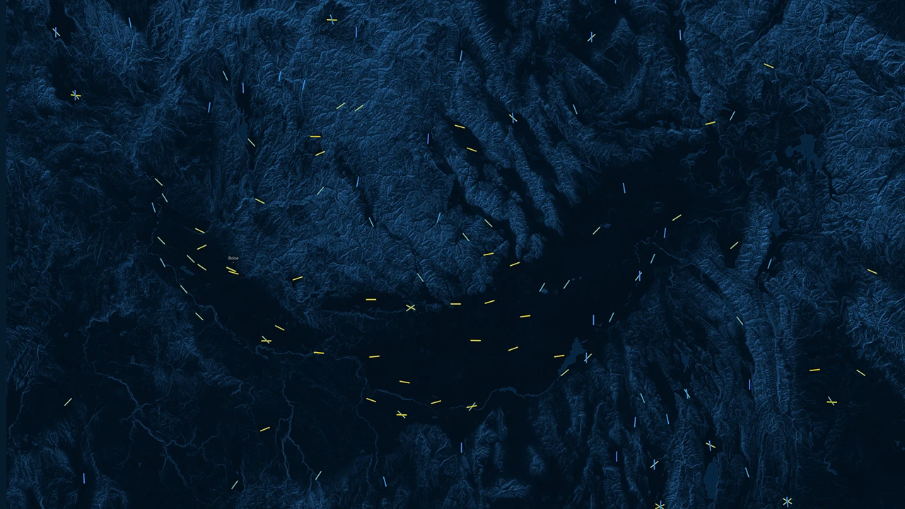
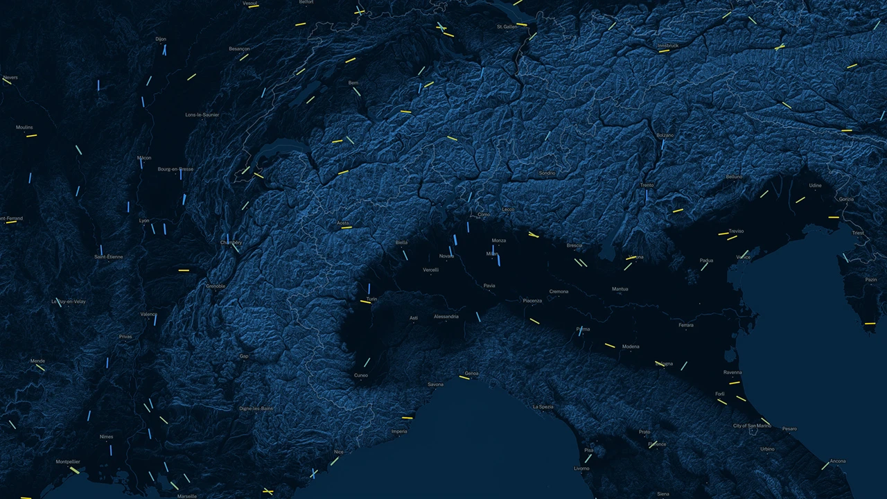
At first glance, Trails for Wind looks like a wind pattern map, with a series of hashes depicting wind direction. But Trails of Wind is actually an extremely accurate map of runways across the world, with each runway angled in the exact direction it is in real life. As it turns out, the two phenomenons are synonymous, because runways actually point in the same direction as the wind. Why? Aircrafts take off and land better from upwind, so air doesn’t tip the plane left or right.
“Winds circulate around the globe, forming patterns of gigantic proportions. These patterns become part of human culture and are reflected in our architecture. They are hidden designs, mapping the complexion of the earth, which we can uncover,” the project site explains. “By orienting on the direction of general winds, airports recreate wind patterns, forming a representation of a global wind map with steel and stone, thus making the invisible visible.”
[Image: courtesy Figure]
Who knew? We certainly didn’t. And neither did developers at Figures.
“The idea was born on a flight from Berlin to Los Angeles that sparked fascination of the manmade structures on our planet. Especially airports stand out due to their sheer size,” says designer David Elsche. “We were curious about the architectonic prerequisites of the layout and orientation of the runways.”
It wasn’t until they acquired a data set of runway positioning and started to map it that they learned about the overlap between runways and wind direction. The map of runway positions in the United States offers a fairly accurate replica of wind patterns, due to our extreme density of airports. (Of the 14,082 global runways in the data set, 7,286 are located in the states.) But that’s not the case with the map of Africa, for instance, because there are simply fewer airports overall.
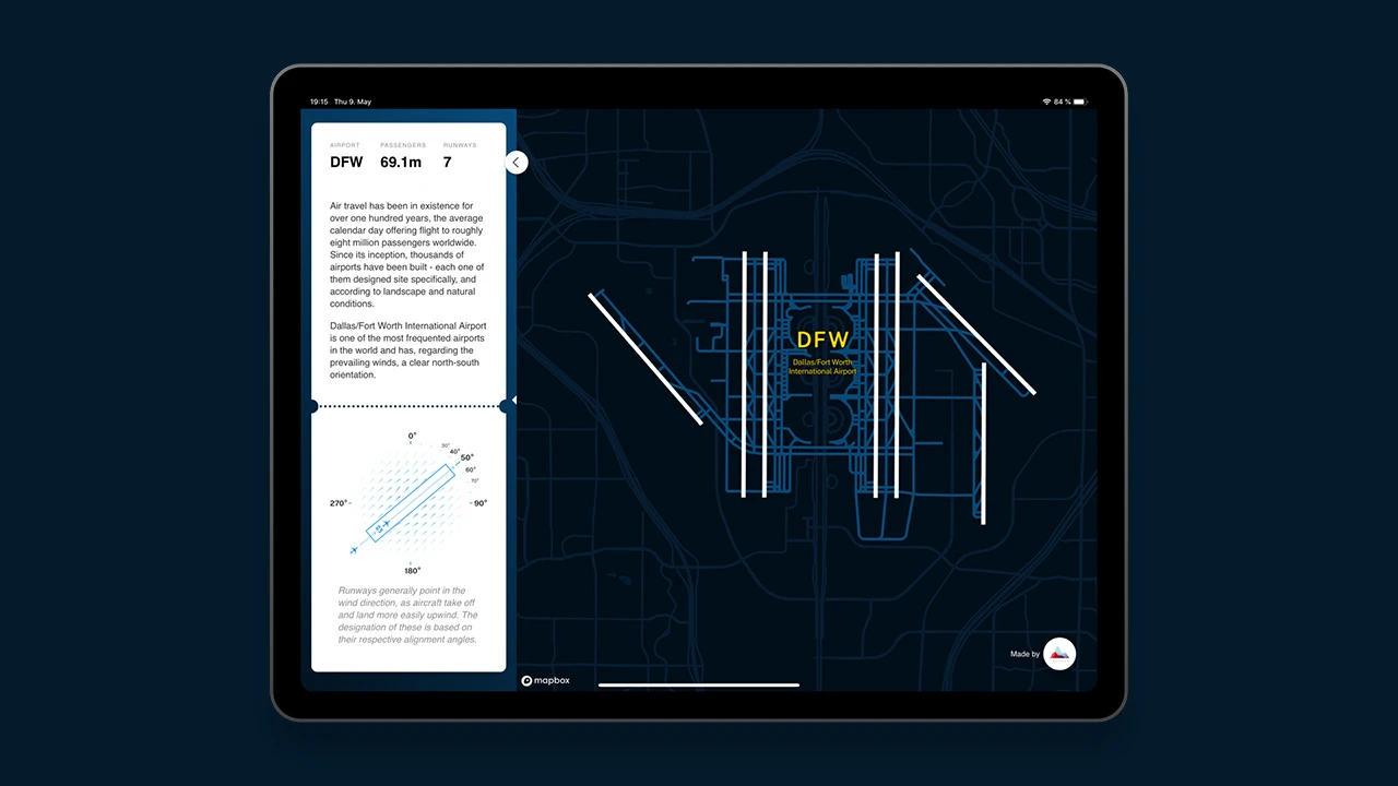
It’s worth taking the site for a spin yourself here, which walks you through the finer points of the visualization and runway design. And if you find yourself wondering: Why can’t I use this visual to compare runways to wind patterns (as the latter isn’t actually depicted at all), know that for a future iteration of the site, the developers hope to layer the real wind upon its grand architectural monument.
Recognize your brand’s excellence by applying to this year’s Brands That Matter Awards before the early-rate deadline, May 3.