If you’re not from Kansas, you might think of it as a sparsely populated farming state that airplanes tend to fly over on their way between the coasts. The reality is that aviation is major business in the Sunflower State, accounting for 92,000 jobs and $20.6 billion in annual economic activity.
At the same time, Kansas is home to substantial amounts of agriculture, insurance, construction, rail, and other industries–not to mention airports supporting the 700 in-state companies in the aviation field–that either want to use drones for business, or need to make sure drones are operating safely in areas where manned aircraft are flying.
So it makes sense that Kansas would be taking a leading role when it comes to implementing new systems and technologies geared toward the safe implementation of drones, for both commercial and recreational use, into the state’s airspace.

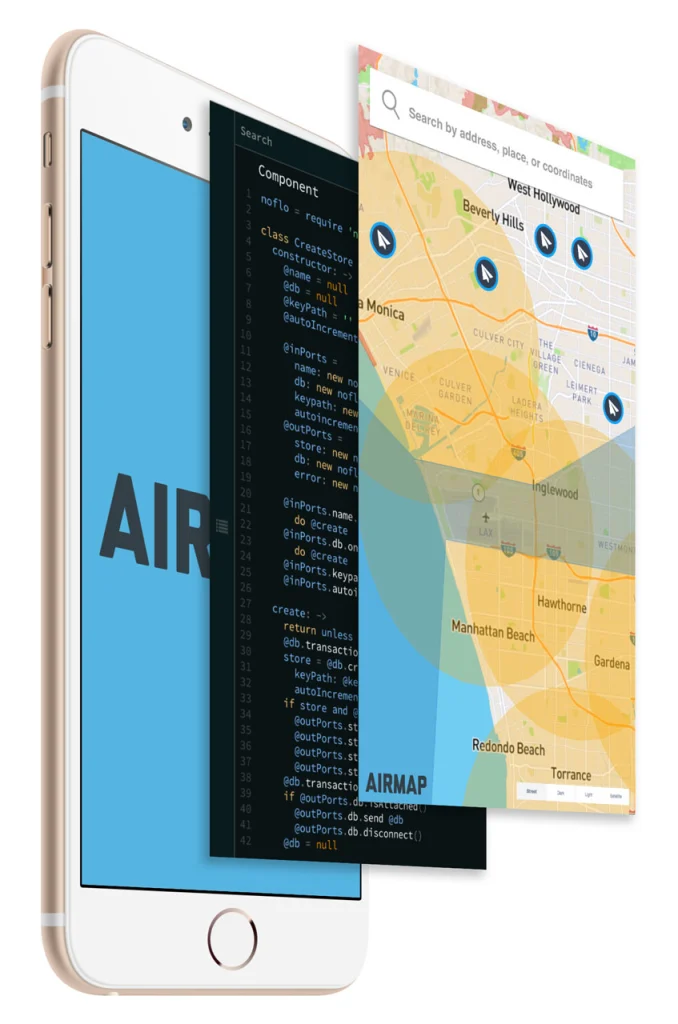
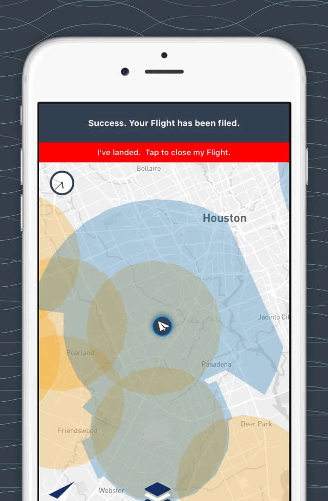
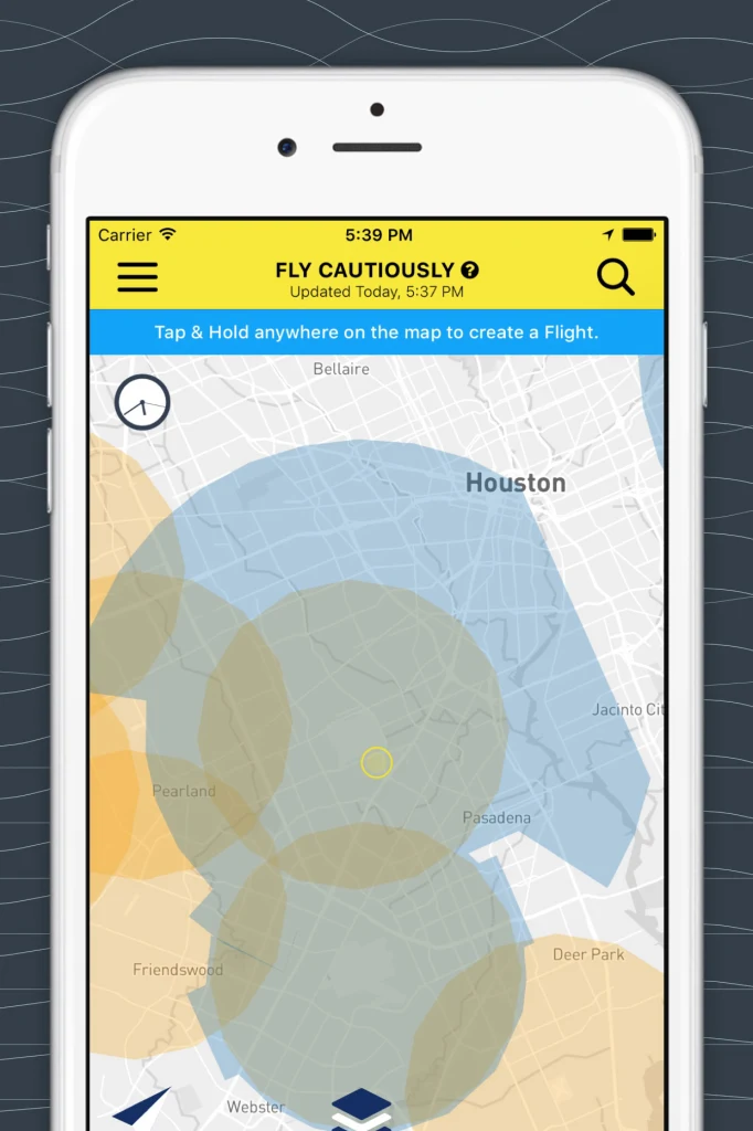
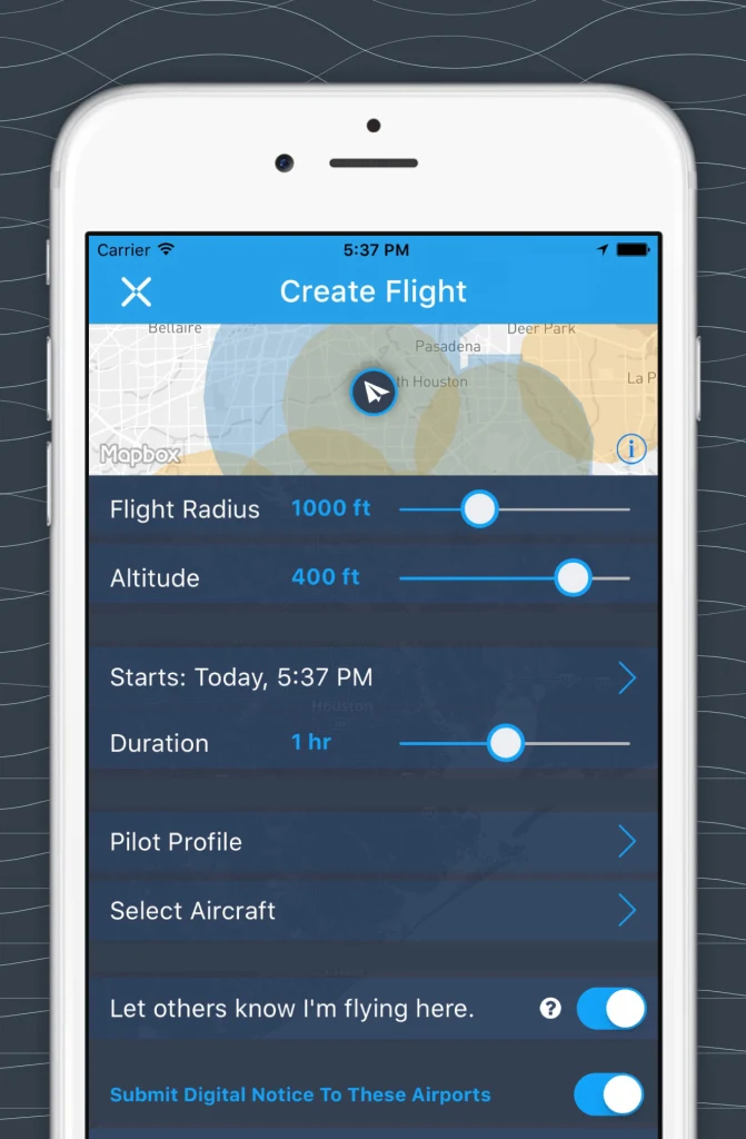
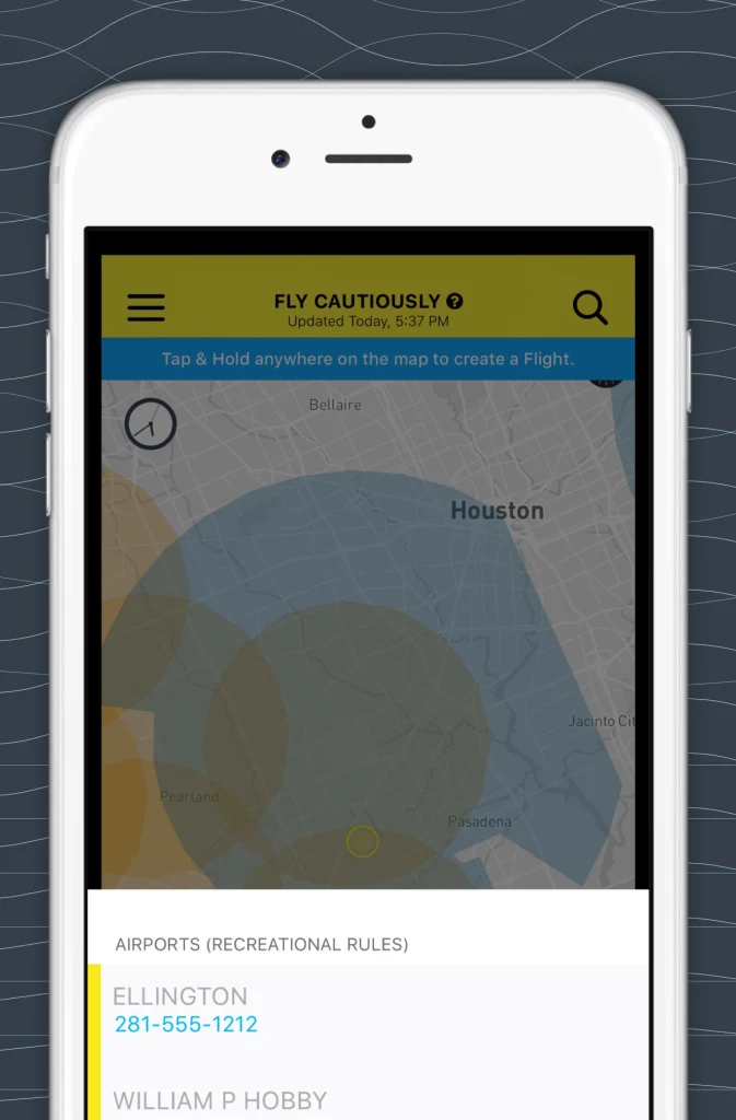
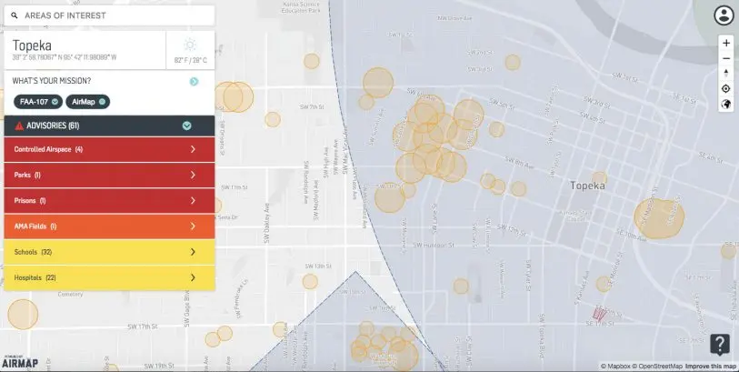
The hope is that the technology, built by the Santa Monica, California startup AirMap–which enables anyone flying a drone to file a flight plan and anyone else wanting to use the airspace to see who else is flying in it in real time, and even in some cases to communicate with them through the tools–will make it safe for anyone to fly drones, and to alert people or businesses when flying is unsafe.
“We absolutely intend to use AirMap to do both civilian and commercial, for the purpose of building business and also protecting the environment so that their ability to share data makes all the airspace safer,” says Bob Brock, the unmanned aircraft system director in the Kansas Department of Transportation. “We really think it’s going to benefit everyone, from the hobby drone operator, who will have more data available to him, and the commercial operator, who will be able to identify airspace and others who are sharing the airspace much more readily.”
Opening A Door
Drone traffic management is on a lot of people’s minds these days, and there are efforts underway to come up with a unified system at the national level, in particular a system shepherded by NASA and a group of participating companies. But those efforts haven’t yet been completed or put in place. That’s opened a door for AirMap, which has also been cooperating in various capacities with federal officials on the creation of national standards.

Plus, a system in which pilots called airport officials to alert them to their proximity wasn’t really scalable with the rapid increase in the number of drones in the sky. Automatic, digital tools were a much better solution, they found.
“We learned that when we put tools in the hands of the right people,” McNeal explains, “they welcome drones, and they open the environment to bring drones into their community.”
Kansas, he adds, was a perfect example of that philosophy–empowering drone usage and welcoming the safe use of drones into airspace throughout the state.
And that philosophy could well lead to pressure from states on the Federal Aviation Administration to move quickly on the development and adoption of a national system. AirMap is only working with Kansas at this point, McNeal says, “but we’d be happy to work with other states if they express an interest….to show how this model of acceleration works.”
Jump-starting Business
To officials in Kansas like Brock, there’s more to the implementation of drone traffic management standards than just ensuring safety. By making it safer to use drones in any place where they can be useful, it’s going to help jump-start business.
“We need places to be able to build business well, and part of business building and economic development includes actually flight testing” drones, Brock says. “That was a gap that the industry brought to us as we really want to find a place that we can both do business well and produce return on investment at the same time we can actually fly the aircraft.”
And that’s where AirMap’s system came into play–as a tool that could be utilized throughout Kansas to allow drone pilots, airplane pilots, airport operators, and other stakeholders to mutually share the kind of data that enables everyone safe use of the airspace.
“We selected them to partner because we really believe that that is a single source of awareness and data-sharing that is unlike any other we’ve been able to find,” Brock says of AirMap’s technology. “We really think it’s going to benefit everyone, from the hobby drone operator, who will have more data available to him, to the commercial operator, who will be able to identify airspace, and others who are sharing the airspace, more readily.”
While Kansas isn’t mandating the use of AirMap’s technology, it will begin the program by making the system available to a wide range of public agencies and institutions–from the Department of Transportation and universities to search-and-rescue operations and airports.
Once that beta test is over, Brock expects municipalities and companies to get on board. And the more agencies and companies use the system, and prove its utility, the more evidence there will be for other states and eventually even the FAA to follow suit, Brock argues.
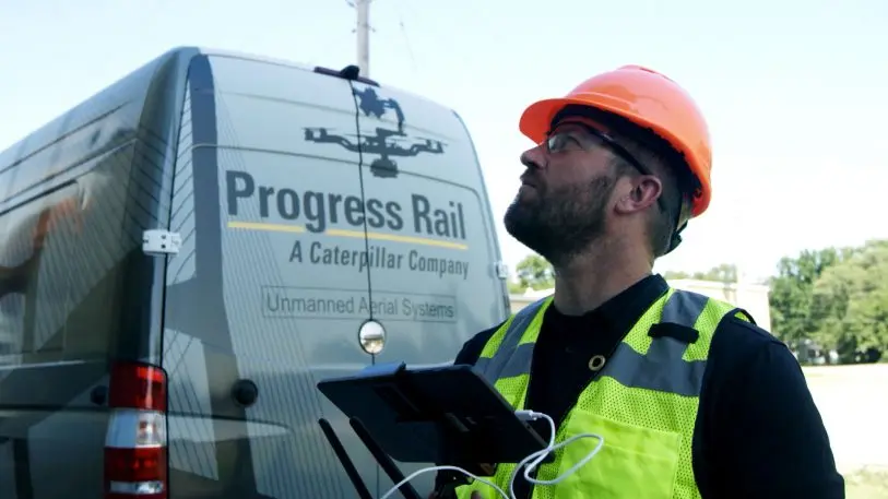
One company that is buying in is Progress Rail, a division of Caterpillar that specializes in supplying railroad and transit products throughout the rail industry.
“I think that a state [utilizing] a standardizing system for use of drones…I don’t think it’s just good, it’s something that has to happen,” says Matt Peterson, the unmanned aircraft systems flight operations manager at Progress Rail. “We have to be able to safely integrate the tools we use to get our job done.”
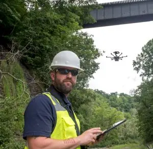
Peterson explains that, as an operator of commercial drones, having real-time airspace data at his fingertips–and at those of others who work with and for him–is imperative. And he thinks AirMap’s technology is a boon for business.
“A third-party application that can roll up everything from type of airspace [drones are] in to airspace restrictions to any real-time notifications,” he says, “would be phenomenal and would really empower the commercial user.”
Further, he says, it’s great that a state like Kansas is taking the lead on implementing drone traffic management systems. “They’re really going to pave the way for other states to follow,” Peterson argues.
Challenges
Now that Kansas has announced its plans to adopt AirMap’s system, the next step is going to be convincing every possible stakeholder—from state and municipal agencies to companies to recreational pilots—to use the software. Brock considers that a significant challenge to making the implementation a success, but he believes outreach is the answer.
“We will be doing a very large public relations and public service announcement routine program to make everyone that’s an operator [of drones], or even a potential operator,” he says, “to just have a clear understanding that it’s super-important that we protect this airspace safely, so they’ll be motivated just to protect their own neighbors’ industry.”
Substantial adoption is going to be important, but if people across the state buy in, Brock is confident that everyone in the state will benefit.
“I think we’re going to have so many drones in so many place that if we can give people the tools that they want to volunteer to be safe,” he says, “I think we can shepherd this industry into a really neat place if we can stay far enough ahead of the demand that the tools are there before we have issues to respond to. I really want us to be proactive and not reactive.”
Recognize your brand’s excellence by applying to this year’s Brands That Matter Awards before the early-rate deadline, May 3.
