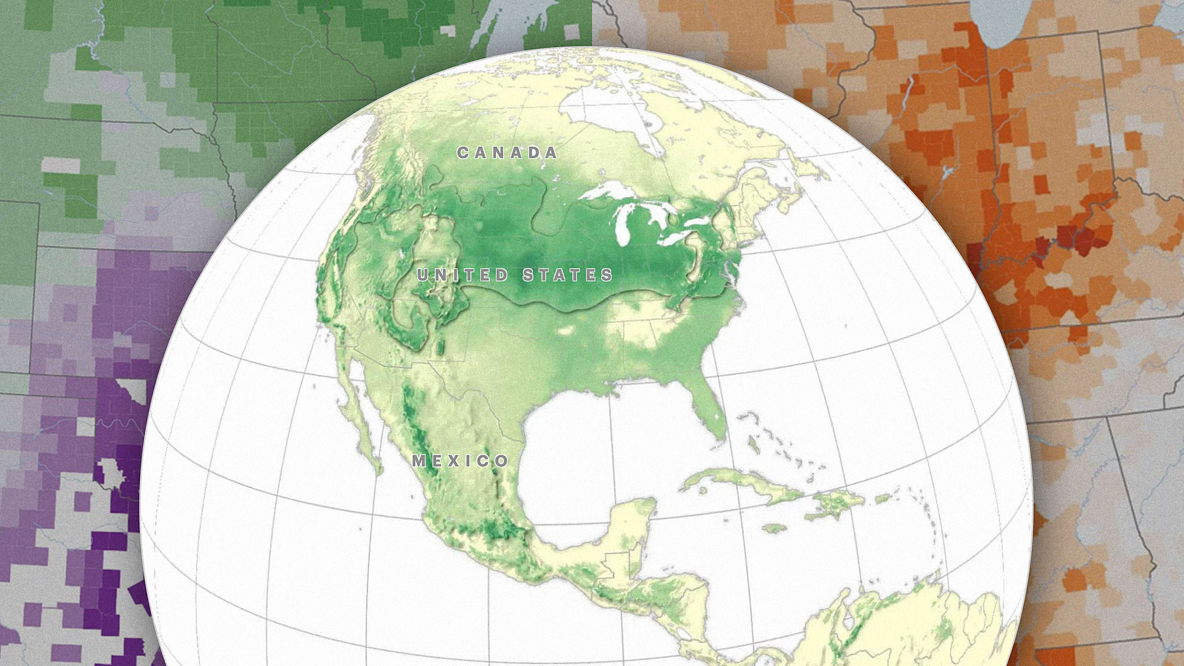
As the climate changes, some swaths of the U.S. already seem less livable—just ask anyone currently living on the West Coast, where at least 27 people have died so far in the current wildfires, and the air quality in Portland, Oregon, was rated so hazardous on Monday that the county tweeted that no one should go outside. A new series of maps from ProPublica and the New York Times Magazine, based on data from the Rhodium Group, shows how climate conditions could continue to change across the country, forcing people to move and making it more difficult to grow food.
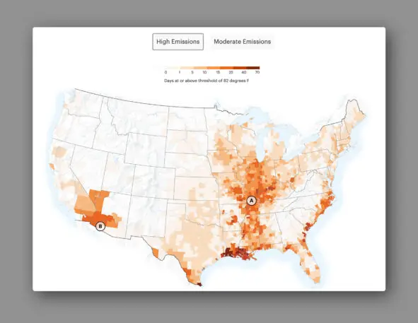
One of the largest risks is extreme heat, particularly in the South and Southwest. By the middle of the century, if emissions continue on their current trajectory, parts of Arizona could be over 95 degrees half of the year. (Another recent report also maps out how extreme heat will increase across the country.) In some areas, the combination of extreme heat and humidity could begin to cross a deadly “wet bulb” threshold that makes it potentially deadly to be outside at all.
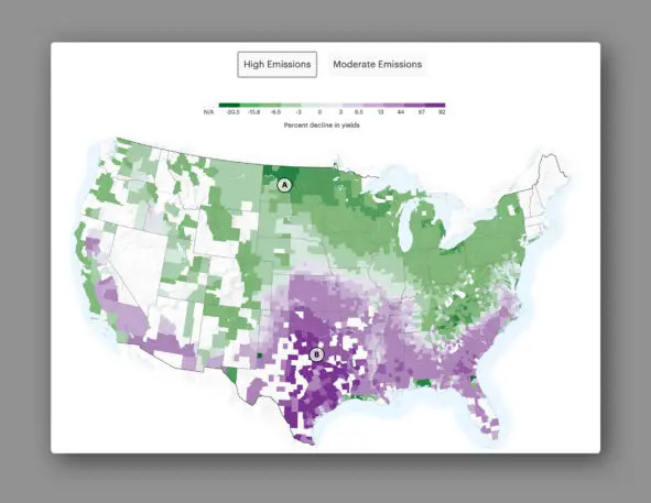
Some states will be hit harder economically as rising temperatures and other changes make it harder to work outside, push energy bills higher, and affect agriculture. A 2017 map of the economic effects of climate change showed similar impacts.
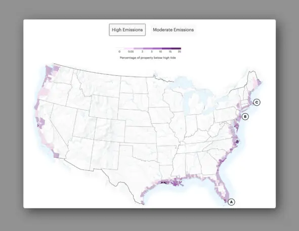
While some Americans are already beginning to move because of climate change, the maps also show that it isn’t possible to completely avoid the impacts. The Upper Midwest, for example, may dodge some problems, but will suffer from extreme heat and humidity (and likely also flooding and more severe storms, not mapped here.) But none of this is guaranteed—the interactive maps on ProPublica‘s site toggle between a worst-case scenario for emissions and a more moderate scenario. Catastrophic climate change is still a policy choice.
Recognize your brand’s excellence by applying to this year’s Brands That Matter Awards before the early-rate deadline, May 3.
