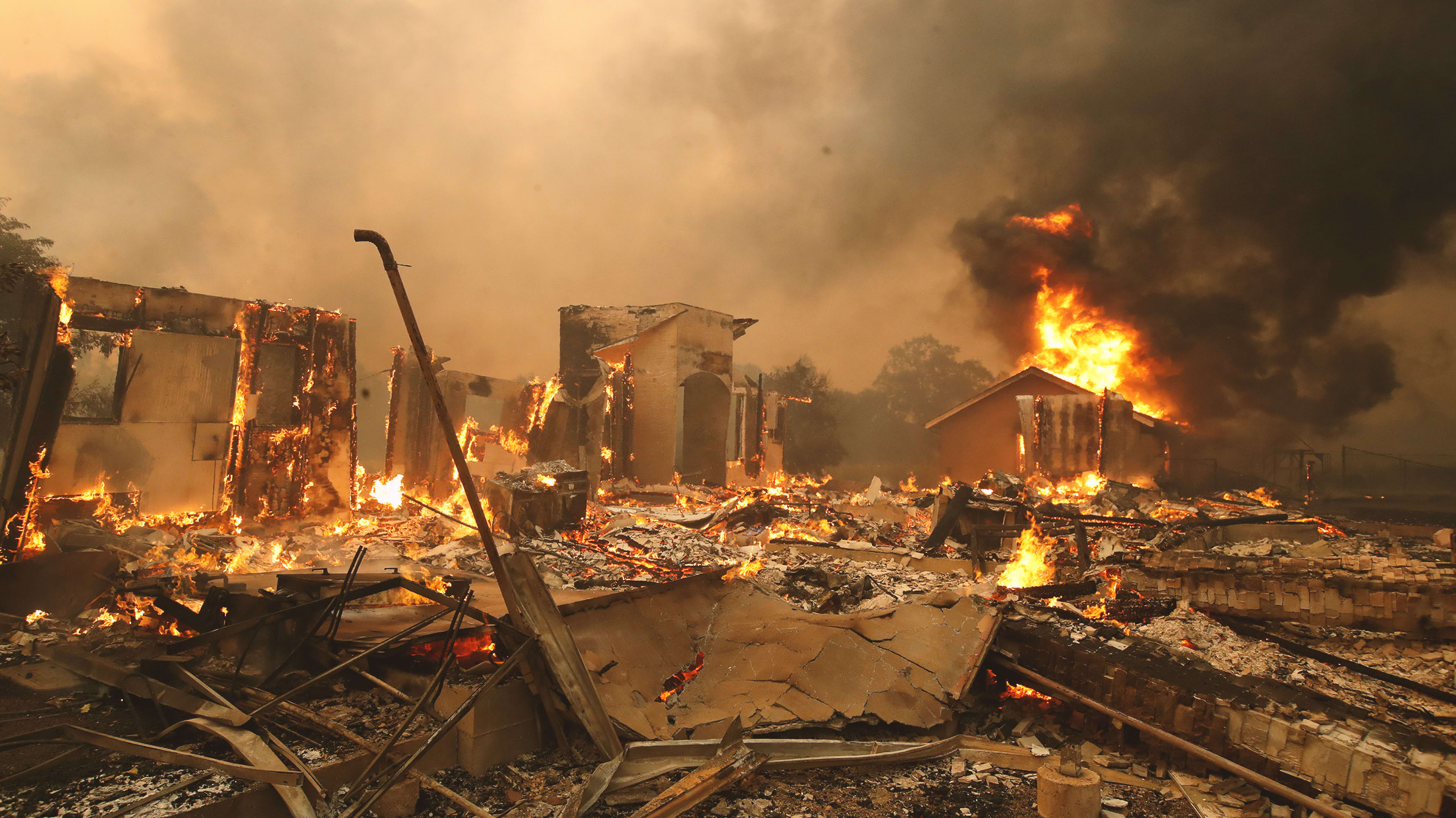
The skies over San Francisco are fairly clear as I write this on Friday, but that could change in the coming hours as winds blow south from the massive Kincade Fire up in the Sonoma County wine country. Likewise, Angelinos are increasingly threatened by flames and smoke from the growing Tick Fire near Santa Clarita, north of the city.
Despite hyper-vigilance by firefighting agencies and temporary power cuts by Pacific Gas & Electric and Southern California Edison, wildfires have exploded up and down hot, dry, windy California. Massive blazes are also raging just south of the border in Mexico.
Whether you live in affected areas, have friends and loved ones there, or are just a worried fan of the Golden State, you have plenty of resources to track the progression of the blazes. These six sites provide the best real-time visualizations. For status updates, you can also follow California’s state fire-fighting agency, Cal Fire, on Twitter or Facebook.
Recognize your brand’s excellence by applying to this year’s Brands That Matter Awards before the early-rate deadline, May 3.
