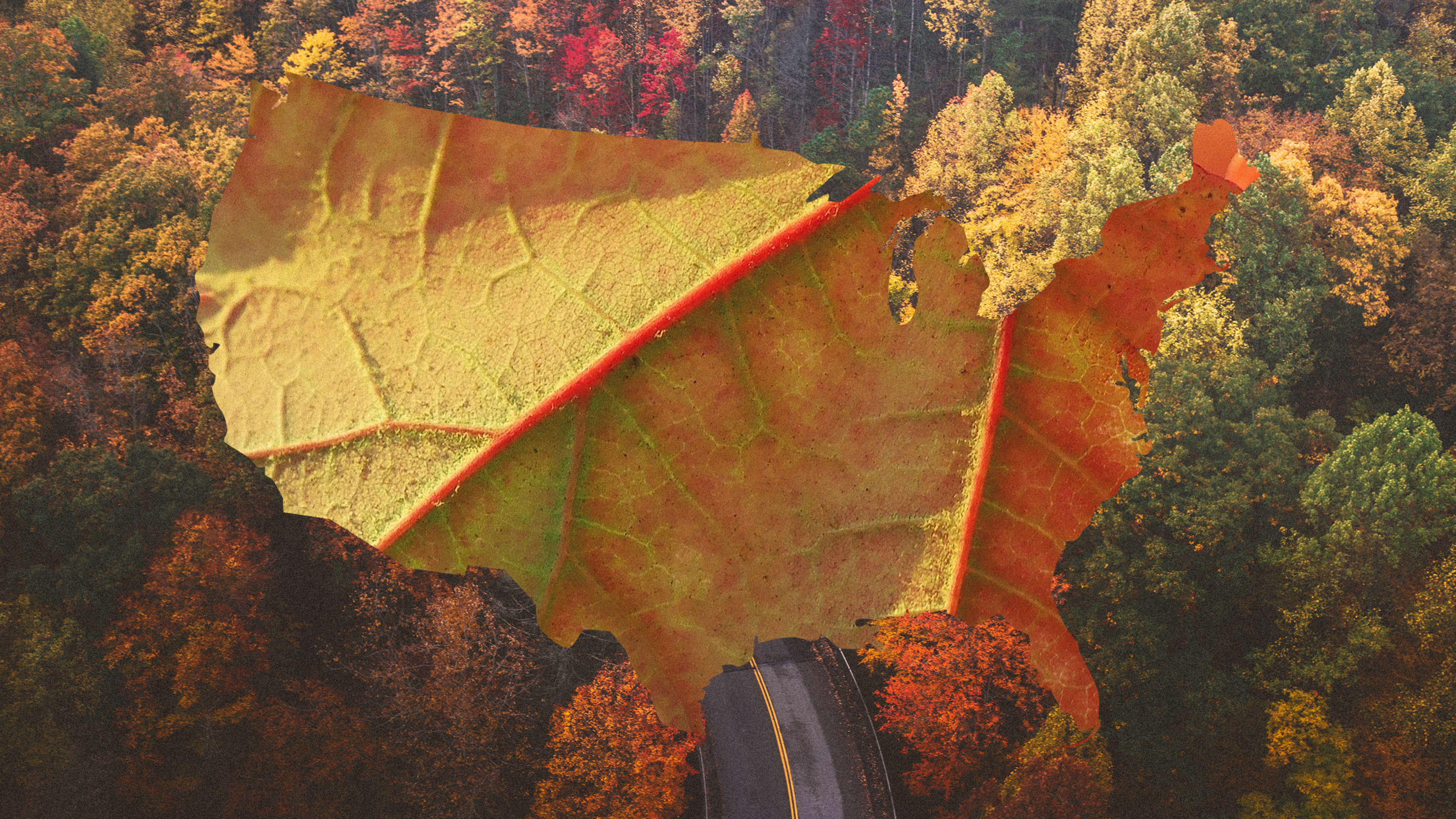
Grab your Stanley thermos and your Patagonia puffer vest, because it’s time to see some fall leaves! Let’s drink some cider and appreciate autumn.
To make the job easy, the Washington Post published a fall foliage map that will give you a nationwide glance at the fall colors coming your way. The team took USDA forest-species data and charted those tree varieties into regions across the U.S. What resulted is the most beautiful fall foliage map we’ve ever seen, which begins as a flame of burning orange maples in the Northeast, leads to sparks of golds (sourced from birch trees in the upper Midwest, oaks in the Smoky Mountains and Texas, and aspens out west), and eventually gives way to lots of green everywhere else. The green is, of course, made of all the evergreen trees that refuse to celebrate the season with everyone else.
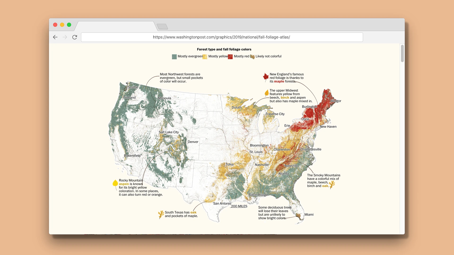
The map is but one of but many visuals in the publication’s larger feature on fall trees, which includes everything from illustration to satellite photography. You can see the speed at which leaves change across the country, or take a look at the vibrant, rust-colored forest scape of Stannard, Vermont, captured from miles above the earth. The city almost looks like a train set from so high in the sky.
But while it’s certainly captivating work, the images are no surrogate for the real thing. Don’t forget to sip on a warm PSL while enjoying your nearest forest preserve this fall. Because pretty soon, we’ll be trapped in a frozen hellscape of winter that will feel like it may never end.
Recognize your brand’s excellence by applying to this year’s Brands That Matter Awards before the early-rate deadline, May 3.
