Leveraging in-house data science, machine learning, and artificial intelligence expertise, Facebook has come up with what it says are the most accurate and scalable population density models ever assembled.
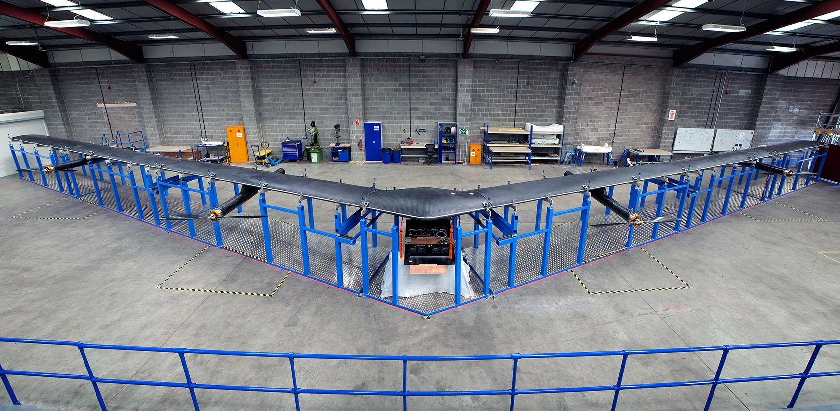
The work, announced today in conjunction with Mobile World Congress in Barcelona, Spain, was ostensibly inspired by Facebook’s desire to understand how best to deploy satellites, the company’s massive solar-powered Aquila drones, and terrestrial networks in order to most efficiently provide low-cost Internet connectivity in the developing world.
“The basis of this stems from being able to have accurate models of where people in the world are,” Yael Maguire, who oversees Facebook’s Connectivity Lab, told Fast Company. “The data that (already existed) was somewhat inadequate to build adequate models for where” drones, satellites, and other assets could be deployed.
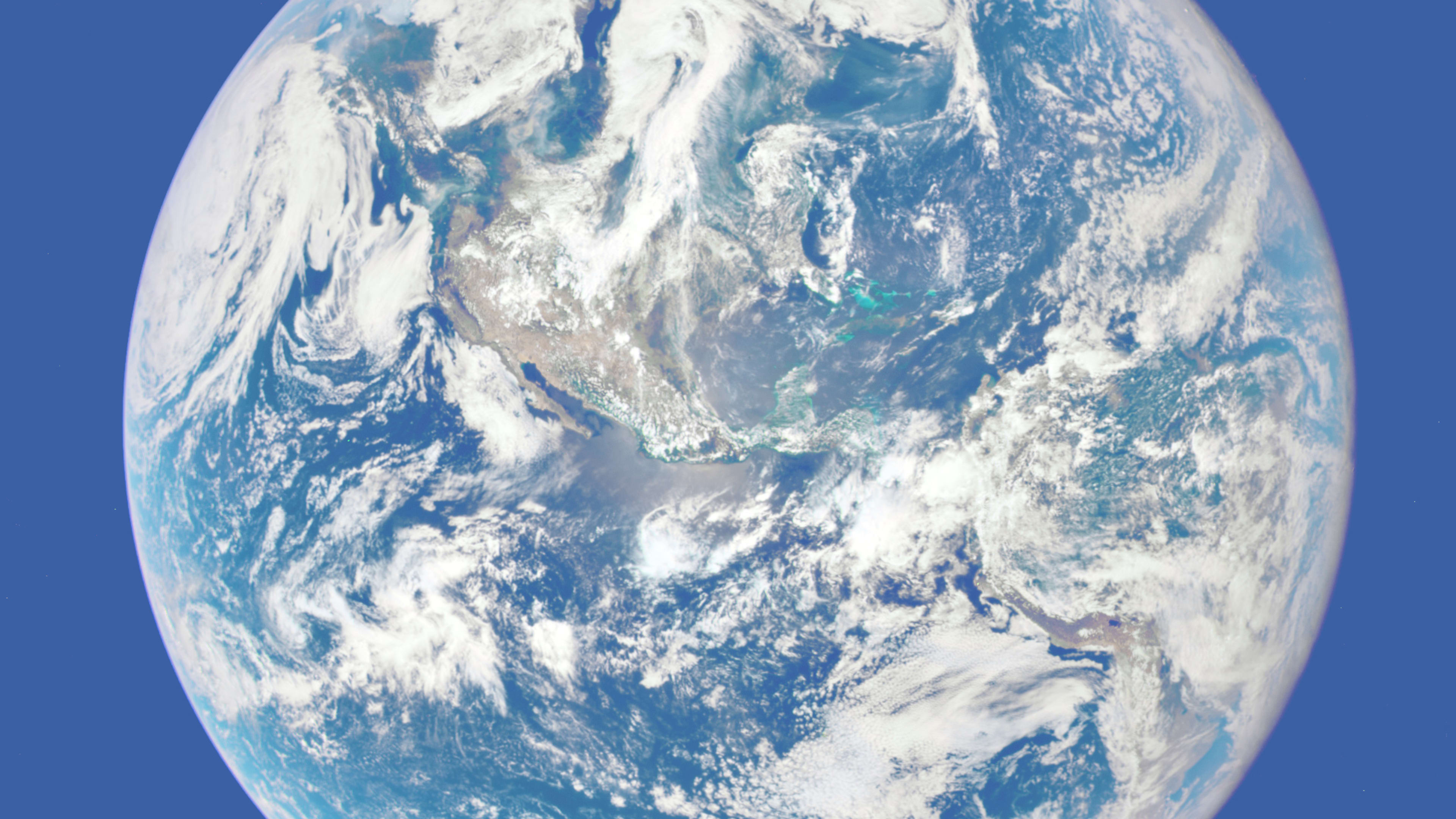
As part of the project, Maguire’s team at the Connectivity Lab took billions of satellite images and applied computer vision techniques to them, ultimately identifying buildings and other infrastructure “as a proxy for where people live,” Facebook scientists Tobias Tiecke and Andi Gros wrote in a blog post. “We then combined our results with existing census counts and created a population dataset with 5-meter resolution” for 20 countries.
Those countries are Algeria, Burkina Faso, Cameroon, Egypt, Ethiopia, Ghana, India, Ivory Coast, Kenya, Madagascar, Mexico, Mozambique, Nigeria, South Africa, Sri Lanka, Tanzania, Turkey, Uganda, Ukraine, and Uzbekistan.
The “crazy idea,” as Maguire put it, was to train Facebook’s machine learning system to recognize things like houses and other man-made structures and interpret them as evidence of population. That’s a far different task than what the company’s image-recognition tools had been built for–recognizing people, pets, and the other kinds of picture subjects Facebook users usually upload.

Ultimately, the Connectivity Lab’s algorithms analyzed 14.6 billion images and 21.6 million square kilometers of imagery in order to build the population density model. Maguire noted the difficulty of coming up with data at a resolution of 5 meters when the state of the art has been 1 kilometer resolution.
While Facebook wanted this data in order to best position its satellite, drone, and other assets, it knows that there are plenty of other institutions and organizations who could benefit from it. That’s why the company is working with Columbia University’s Center for International Earth Science Information Network to make the data publicly available.
Images: Provided by DigitalGlobe courtesy of Facebook
Maguire said that among those who might conceivably want access to the data are governments, mobile operators, researchers, and others.
The project demonstrates the value of analyzing huge volumes of satellite imagery, one industry expert said.
“Data about human populations–whether farm output or population density–is costly and slow to obtain,” said Mark Johnson, CEO of Descartes Labs, which analyzes satellite imagery for the agriculture industry. “The most exciting thing about Facebook’s work is not just about the population density of today, but looking backwards to see trends and running this analysis as new, better satellite imagery is available.”
Added Johnson, “I’m really excited that Facebook is releasing this data to the public, which has potential to optimize humanitarian efforts across the globe. Imagine a before-and-after analysis after a major disaster like a tsunami, so that relief efforts can be sent to where they are needed most.”
How Does Mark Zuckerberg Generate Innovation?
Recognize your brand’s excellence by applying to this year’s Brands That Matter Awards before the early-rate deadline, May 3.
